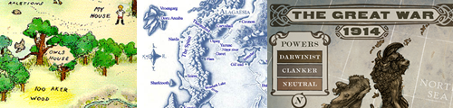
Maps and Technology
Unfortunately, a map found in a book is limited in its ability to convey the beauty of a landscape or the hazards of a war zone. Technology tools can enhance the map experience by providing satellite images that picture a location, interactive maps that dynamically represent data, and tools that help visualize complex imaginary worlds.
In addition, since many book maps appear on the endpaper of first editions, they may be missing from paperback and e-book editions. The Internet is a great way to locate these useful visuals.
A great way to stimulate interest in maps is through the use of video. 42 Amazing Maps by the Vlogbrothers introduces dozens of maps to teens in just three minutes
Label and Annotate Maps
Many tools can be used to label existing maps.
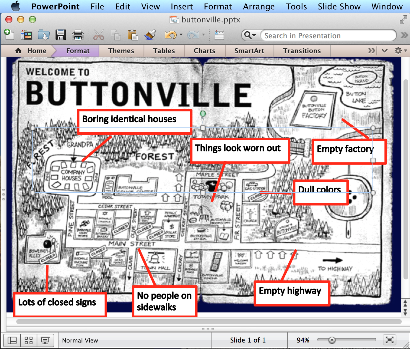
PowerPoint. Buttonville is an imaginary town in the new The Imaginary Veterinary series by Suzanne Selfors. In Book 1: The Sasquatch Escape, the map shows what ten-year-old Ben describes as the saddest town on Earth. Readers can take a photo or scan the map. Then, use this map to practice some basic technology skills. Ask students to copy the map into Microsoft PowerPoint, then use the shapes tools to label those areas of the map that they think reflect the idea of the sad town that Ben describes. Finally, use the audio to record their thoughts about the map and the town.
Glogster. Use tools like Glogster to annotate a book map such as the one in The Phantom Tollbooth by Norton Juster.
Build Interactive Maps
In some cases, fans have created interactive maps that expand on the original paper map published in the book.
The Booklovers Map of America was published in 1926. Involve youth in identifying the various books and authors represented. Then, ask them to create a map that might be produced today. Many technology tools can be used to help youth create their own interactive maps. ThingLink is a website that allows youth to upload a map and create hotspots where they can add text, images, videos, and links. For instance, as students explore food in different cultures, show them the India Food map . Then, get them involved with creating their own interactive map. The Rhode Island Project connects a historical map with explanations using Google Docs.
Create Maps
Many software packages and online tools are available for creating maps.
According to David Sobel (1998, 125) in Mapmaking with Children,
“through cultivating fantasy mapmaking with children we are developing the graphically skills that engineers, landscape planners, clothing designers, graphic artists, novelists, and teachers need every day."
Paint Tools. Involve youth in designing their own island. Focus on terms associated with land forms such as archipelago, cape, cliff, estuary, isthmus, waterfall, and peninsula. This is a great opportunity to practice using painting and drawing tools. Online tools like Sumo Paint work well for designing an island.
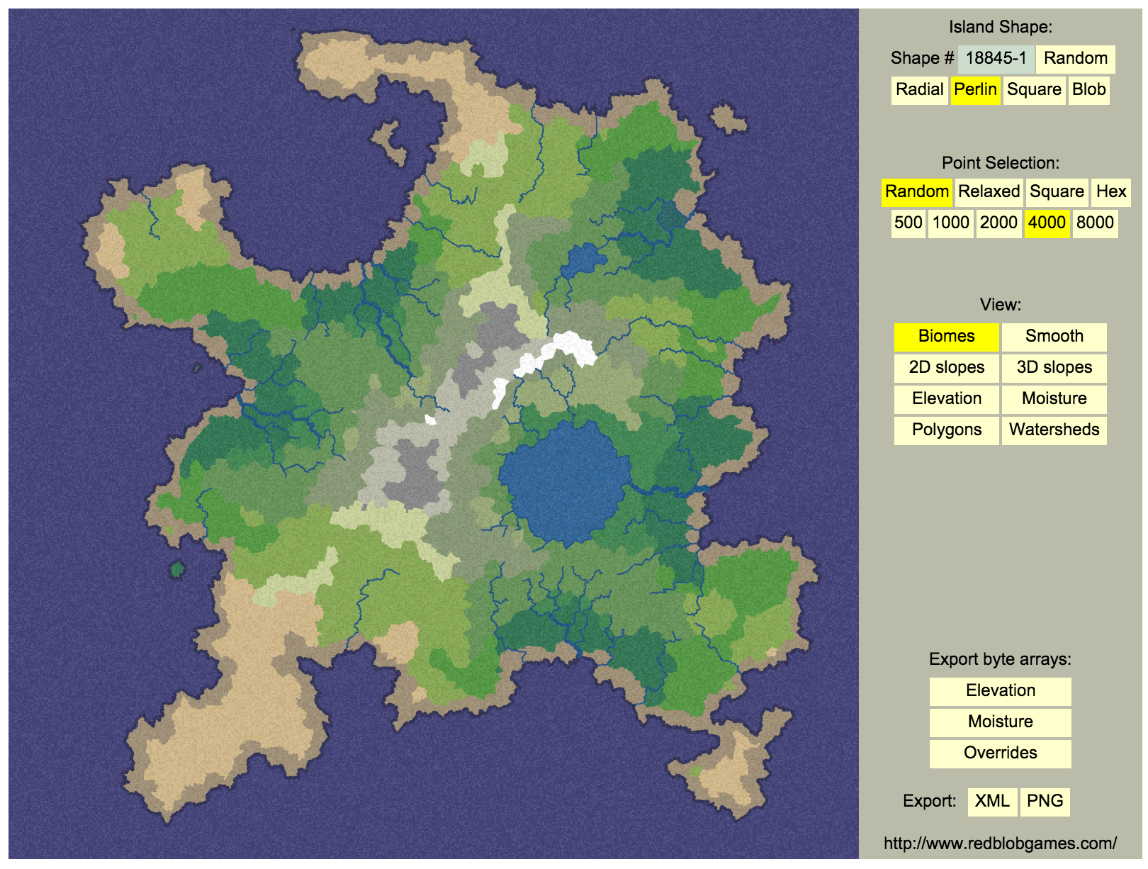
Online Island Generator. The online Polygon Map Generation tool can be used to create generate your own island. Users can choose their island’s shape, points, and views.
Fantasy Map Software. Both open source and propriety software are available for creating fantasy maps. AutoREALM is a popular tool for creating maps of cities, castle, caves, and other fantasy elements. For high quality commercial software to create worlds, cities, and other types of imaginary places, try Pro Fantasy Software.
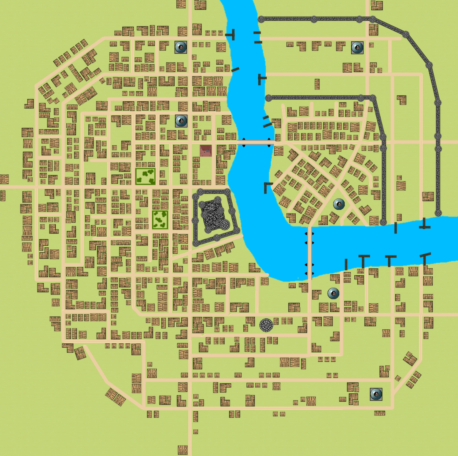
Random City Generator. The Random City Map Generator is a tool students can use to create a randomly generated city or town that can be used for their own story.
While some authors incorporate wonderful maps in their works, many of today’s authors like J.K. Rowling, Suzanne Collins, and Veronica Roth leave the map creation to their fans. Fandom may expand the reading experience through their own interpretations of imaginary worlds portrayed in series like Harry Potter, The Hunger Games, and Divergent that don’t contain maps. The social network DeviantArt is a great example. A search for the fictional world of Panem yields over 100 user created maps. Involve students in evaluating and discussing how these maps match with their ideas about the Hunger Games series.
Map Ideas
Looking for more ideas? Pinterest is a popular place to organize and share both real and imaginary maps. For example, a map of Forks Washington shared in Pinterest was inspired by the Twilight books.